Last November, NASA and its European partners launched the Sentinel-6B satellite to improve hurricane forecasts, help protect infrastructure, and benefit commercial industries, including shipping. The satellite now is flying 30 seconds behind its predecessor, Sentinel-6 Michael Freilich. Both satellites are providing precise sea level height measurements during what oceanographers expect to be a historic El
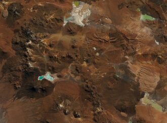
In August 2026, back-to-back winter storms left parts of the Atacama Desert in northern Chile covered in a rare blanket of snow. The typically arid region has seen snowfall before, notably in 2025 and before that in 2011. But one of the 2026 events was unusually widespread, stretching from the Andes to near the Pacific
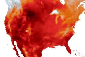
Western Europe got its first hint of an unusual summer in May 2026, when a heat dome produced exceptional temperatures that shattered records in several countries. Remarkable as it was, that early heat wave turned out to be only the opening salvo. By mid-August, Europeans were sweating through their fifth heat wave of the season,
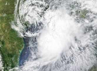
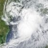
Tropical Storm Arthur, the first named storm of the 2026 Atlantic hurricane season, brought high winds and heavy rain to the U.S. Gulf Coast in mid-June. NASA’s Terra satellite captured this natural-color image (left) at 10:30 a.m. Central Time (15:30 Universal Time) on June 17. The second image (right) depicts infrared signals known as brightness temperature,