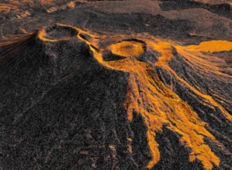
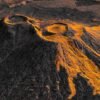
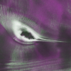
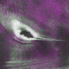
In this animation, frames of NISAR data from December 2025 to August 2026 show the spread of lava from the northern crater of Krasheninnikov, a volcano pair on Russia’s Kamchatka Peninsula. In the image, the lava field appears brighter in the foreground than the surrounding surfaces. Credit: NASA’s Scientific Visualization Studio Like tendrils on a vine,
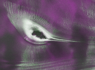
L-band radar data from the NISAR (NASA-ISRO Synthetic Aperture Radar) satellite orbiting Earth between the United States and India was used to produce an image of Nunatak Zaterjavshijsja, a mountain peak in East Antarctica, jutting out in the middle of an ice stream flowing northeast toward the ocean. The blockage causes stresses in the ice,
Starting July 20, the public can access data from the two powerful radar instruments on board the NISAR (NASA-ISRO Synthetic Aperture Radar) satellite. Teams in the United States and India will release files processed from the satellite’s L-band and S-band radars on an ongoing basis, helping researchers and other users track the movement of Earth’s
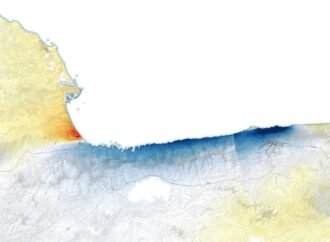
On June 24, 2026, a magnitude 7.2 earthquake struck northern Venezuela, followed less than a minute later by a magnitude 7.5 mainshock. Collectively, the earthquakes left immense damage and loss of life across the region. In the following days, satellite land displacement maps revealed how the Earth’s surface was moving, providing information about the forces