When hurricane forecasters released their seasonal outlooks in spring 2026, the El Niño brewing in the Pacific contributed to predictions of below-normal activity in the Atlantic basin but above-normal activity in the northeastern and central Pacific basins. In early September, near the climatological peak of hurricane season, those spring outlooks were on target, with the
High above Earth, thin veils of metallic haze drift through the edge of space. Known as sporadic E layers, these high-altitude “clouds” form from the vaporized dust of burnt-up meteors, earning their name from the unpredictable way they emerge and then dissipate. Now, new results from a NASA sounding rocket — a suborbital research rocket
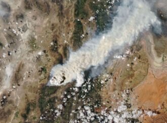
Scientists have long known that volcanoes can launch large quantities of particles into the stratosphere. In the past few decades, it has become clear that wildfires do this, too, by generating towering, smoke-infused pyrocumulonimbus (pyroCb) clouds. The largest pyroCbs are stunning weather-making features that generate massive thunderheads capable of unleashing lightning, hail, and heavy rain.
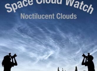
Certain kinds of clouds are misbehaving – appearing more often and lower in the sky than they used to. To help identify the factors influencing these changes (e.g. shifts in Earth’s long-term weather patterns), scientists have asked people around the world with cameras to submit fresh images of these clouds as a part of the
Winter 2026 roared to an end in southern Alaska as parts of the coast saw below-normal temperatures and bouts of moderate to heavy snow. Viewed from above, the region’s atmospheric instability was apparent in the striking display of cloud formations just offshore. A NASA satellite captured this image of the clouds on March 19, 2026,