Last November, NASA and its European partners launched the Sentinel-6B satellite to improve hurricane forecasts, help protect infrastructure, and benefit commercial industries, including shipping. The satellite now is flying 30 seconds behind its predecessor, Sentinel-6 Michael Freilich. Both satellites are providing precise sea level height measurements during what oceanographers expect to be a historic El
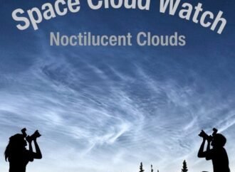
Certain kinds of clouds are misbehaving – appearing more often and lower in the sky than they used to. To help identify the factors influencing these changes (e.g. shifts in Earth’s long-term weather patterns), scientists have asked people around the world with cameras to submit fresh images of these clouds as a part of the
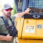
With peak wildfire season approaching, scientists with NASA’s FireSense project have created low-cost thermal sensors to install on fire bulldozers that will alert firefighters when heat from a nearby fire reaches a dangerous level. The sensors also provide researchers with important data on what happens beneath the canopy during a fire. In April, researchers and
On Jan. 31, students, library staff, researchers, and community members gathered at the University of Florida’s (UF) Marston Science Library for the Environmental Monitoring through Education, Research, and Geospatial Engagement (EMERGE) NASA Data Hackathon. This initiative empowers libraries, educators, and individuals to engage in public health and environmental science using real-world data tools and citizen