
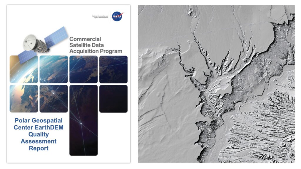
A new quality assessment report from NASA’s Commercial Satellite Data Acquisition (CSDA) program evaluates data from the Polar Geospatial Center’s (PGC) EarthDEM product. The results of the evaluation help inform NASA program management and the user community about the quality of commercial Digital Elevation Models (DEMs) for use in NASA science. Issued August 8, 2026,
A new quality assessment report from NASA’s Commercial Satellite Data Acquisition (CSDA) program evaluates data from the Polar Geospatial Center’s (PGC) EarthDEM product. The results of the evaluation help inform NASA program management and the user community about the quality of commercial Digital Elevation Models (DEMs) for use in NASA science.
Issued August 8, 2026, the CSDA Polar Geospatial Center EarthDEM Quality Assessment Reportwas conducted by NASA Digital Elevation Model (DEM) subject matter experts (SMEs) enlisted to evaluate the horizontal and vertical accuracy of two PGC EarthDEM1 (i.e., Digital Elevation Model) products: the center’s “Mosaic Tile” and “Strip” Digital Surface Models (DSMs).
To assess the vertical and horizontal accuracy of the EarthDEM Strip DSM and Mosaic Tile products over a variety of surface characteristics, the SMEs compared them to airborne lidar data samples from across the United States and Senegal. They found the horizontal accuracy of the EarthDEM products (Strip DSM: 0.5-meter (m) Root Mean Square Error Horizontal (RMSEH); Mosaic Tile: 0.3 m RMSEH) agreed with the specifications provided by the PGC and graded them “Excellent.” The vertical accuracy results of the EarthDEM Strip DSM (5.6 m Root Mean Square Error Vertical (RMSEV)) and the Mosaic Tile (4.9 m RMSEV) products varied by land cover type, with all land cover types exceeding the specification provided by the PGC (0.5 m RMSEV). Strip DSM vertical accuracy was found to vary from 4.6-6.8 m RMSEV depending on the cloud cover metadata field generated by the PGC. Given this variation, the vertical accuracy compliance for the EarthDEM products was graded as “Basic.”
Overall, the assessment report supports the use of EarthDEM data for NASA Earth science research and applications, as long as the data characteristics (e.g., vertical accuracy, poor cloud masking, missing surface features, data voids, etc.) are compatible with the specific science objectives and use cases.
The report also provides a Data Provider Documentation Review for the EarthDEM product that evaluated information from the PGC website, as well as a series of peer-reviewed publications by researchers at The Ohio State University’s Byrd Polar and Climate Research Center. (Only documents listed in this report were considered in the evaluation.) The report’s authors found that, overall, the EarthDEM product is “well documented,” with most information present within the product User Guide, a series of peer reviewed papers, or the PGC GitHub repository.
The CSDA program was established to identify, evaluate, and acquire data from commercial sources that support the NASA Earth science research and application goals. NASA’s Earth Science Division recognizes the potential impact commercial satellite constellations may have in encouraging/enabling efficient approaches to advancing Earth System Science and applications development for societal benefit. Commercially acquired data may also provide a cost-effective means to augment and/or complement the suite of Earth observations acquired by NASA, other U.S. government agencies, and international partners.
To read the reports in full, see the links under “Evaluation” heading on the Polar Geospatial Center vendor page on the CSDA website.
1. According the authors of the report, “it should be noted that the PGC EarthDEM product is not technically a commercial product…. EarthDEM is a digital elevation dataset derived from imagery collected from the Vantor (formerly Maxar) fleet of optical satellites.”
For more tech updates, stay tuned to our blog.