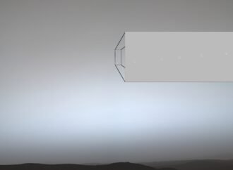
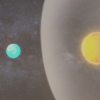
Earth and the Martian moon Phobos dance together in a series of images recently acquired by NASA’s Perseverance Mars rover. Earth appears as a point of light in the Martian sky, disappearing behind the crescent of Phobos, the larger of Mars’ two moons. This is the first time humanity has captured from the surface of
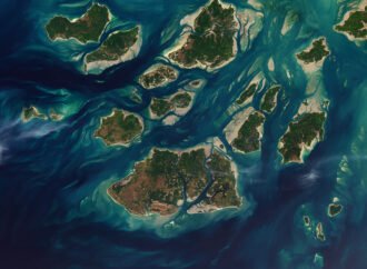
Twice each day, tides ebb and flow through a maze of sandy channels, mudflats, and mangrove forests that flank the 88 islands and islets of Guinea-Bissau’s Bijagós Archipelago (Arquipélago dos Bijagós in Portuguese). Seen from above in this image from Nov. 28, 2025, the process leads to stark changes to the landscape: around low tide, intertidal mudflats and sandflats
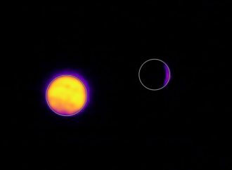
On July 3, one of NASA’s two Mars-bound ESCAPADE (Escape and Plasma Acceleration and Dynamics Explorers) spacecraft captured photographs of the Earth and Moon in visible and thermal infrared light. At the time, the spacecraft was 584,600 kilometers (363,250 mi) from Earth and 186,100 kilometers (115,600 mi) from the Moon, making the Moon appear relatively
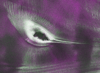
Starting July 20, the public can access data from the two powerful radar instruments on board the NISAR (NASA-ISRO Synthetic Aperture Radar) satellite. Teams in the United States and India will release files processed from the satellite’s L-band and S-band radars on an ongoing basis, helping researchers and other users track the movement of Earth’s
Landslides in Alaska. Air quality in Atlanta. Clouds of fire in the west. From the Arctic fringe to agricultural areas, NASA’s new class of Earth Venture suborbital missions is preparing to deliver science that will benefit communities in the United States and beyond. The six projects will mobilize hundreds of scientists and pilots from NASA,